Bonjour!
We’re anchored in beautiful Oro Bay on the northeastern side of the Ile des Pins (Isle of Pines). A low pressure system passing to our southwest has given us our first bit of weather since we arrived in New Caledonia. It’s overcast, warm and humid, with occasional drizzle and winds from 6 to 26 knots. Not particularly nasty, but not great for any shoreside soujourns.
Tim and I have been doing a bit of spearfishing on some of the coral bommies in the bay. There are plenty of edibles here-cod, hump-headed wrasse, grunt, and our favorite, coral trout. BIG coral trout! They spook easily, quickly retreating to the safety of a puka in the base of one of the bommies at the slightest sound we may make. When they come out to play, it seems that one of two rather large and toothy white-tip reef sharks is within eyeshot. Bugger! In addition to the edibles, there are plenty of beautiful colored tropical fish, giant clams, turtles and even a small lobster or two.
Our landfall to the Ile des Pins was Kuto Bay, on the southwest side of the island. Kuto is a shallow, protected bay with a long, crescent-shaped beach with sand the color and consistency of confectioner’s sugar. The shore is lined with pine and palm trees. It’s very quiet, and the biggest excitement seems to be the daily arrival of the ferry from Noumea.
While in Kuto Bay, we were host to some squatting remora that seemed to think that the bottom of “Moonshadow” was the underbelly of a basking whale. They hung out, and on, for two days, and seemed to enjoy the little bits and pieces of food, etc. that came their way via our through-hull fittings.
Shoreside, a one kilometer walk up the main road led us to two very significant Ile des Pins landmarks. First, on the right, was the ruin of a prison that was home for French revolutionarys in the late 1800’s and early 1900’s. It looked to be a dreadful place. Some of the cells were so small, the walls between them were wider.
The other landmark, across the road, is the boulangerie, ubiquitous in French parts of the world. Of course, we loaded up on fresh baked croissants and baguettes. One baguette always seems to go missing on the way back to the boat. Hmmmmm.
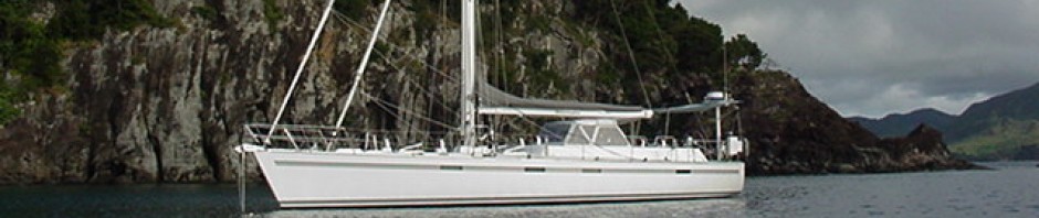
The charting of most of the Ile des Pins is very poor and incomplete. Since much of the water is protected by barrier reefs, we were able to take a long dinghy ride to scout out an anchorage on the south end of the island. The following day, we moved five miles southeast to Port de Vao.
From our anchorage, we were able to visit Vao, the main village of the island. The bustling metropolis of Vao boasts a huge Catholic church, two schools, a small medical center, the government center for the island, a post office, a general store and perhaps a few dozen homes.
After taking in all the hot spots in Vao, we took the dink up into the estuary between Port de Vao and Baie d’Upi. Located on the shore is one of the last boat yards specializing in the construction of outrigger sailing canoes. Numerous canoes are moored along the shoreline. The main hulls are dug out of a single, huge log and with the exception of Dacron sails, they appear to be authentic versions of boats used by the Melanesians for thousands of years.
Looking to do a bit of diving, we hopped over to Ilot Brosse, three miles to the southwest. Although the island was quite attractive, with a grove of pines and a gorgeous white-sand beach, the diving was marginal. The coral was covered in algae and there were few fish to be seen. The weather was packing in, so we returned to the protection of Kuto Bay.
There are two nice walks that can be enjoyed from Kuto Bay. Our first stroll was to the top of Pic Nga, the highest point on the island at 262 meters. It was a rather easy walk on a good trail, and from the top, one can see the entire island and surrounding reefs, as well as much of Grand Terre, the main island, lying 70 miles to the northwest. It was well worth the exercise and provided some great Kodak moments.
The following day, we walked around the perimeter of the Kuto Peninsula, through the pine and native bush forest, along the raised coral shoreline. In some places, it appears as if the trees grow out of solid coral! The sea has eroded the uplifted coral at sea level, leaving dramatic overhangs above.
The break in the weather that allowed us to move over to Oro Bay was short lived. We’re rocking and rolling, and collecting rainwater. It looks like we’ll just sit out this system in this gorgeous spot, and enjoy a bit of reading, writing, snorkeling and cooking.