The west coast of Espiritu Santo Island in Vanuatu offers up some spectacular anchorages, all within a short day sail from good provisioning in Luganville. Our favorite was Peterson’s Lagoon behind Oyster Island.
Peterson’s Lagoon is the most protected anchorage along the coast and probably the only spot that could be considered a hurricane hole. Oyster Island is a small resort with a few beach bungalows and excellent restaurant. From Peterson’s lagoon one can take a short dinghy ride up to the “Blue Hole.”
The bad news is that the passes into Peterson’s lagoon are very shallow and strewn with coral bommies. Entry into the “inside” should only be attempted at full tide and good light, a combination that may be difficult to attain if one is cruising with any time constraints.
We tracked both entrances into the lagoon so that when we return, at least we won’t have to be so concerned with the light factor.
We came in the southern entrance just after high slack water. You can see our track as we stood off and hovered, waiting till the tide had shifted so we could enter with a slight bit of ebb current. Light was good as it was near midday and entry into the outer lagoon at the south end was no drama. There were bommies within six feet of the surface but they were easy to spot and avoid in the conditions we experienced that day.
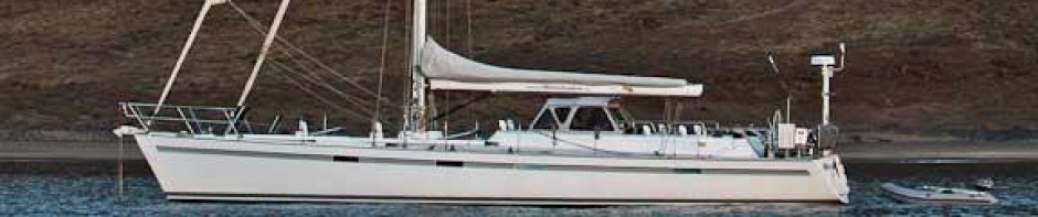
We anchored behind a small islet to the south of Oyster Island, but swell coming over the reef made it quite rolly. We had guests on board and wanted a bit smoother conditions, so I jumped in the dinghy, grabbed my hand depth sounder and started to do some “surveying.”
I discovered another pass into Peterson’s lagoon, the more protected lagoon in the lee of Oyster Island. I made mental note of some range lines and there were a few bleach bottle markers to guide the way.
Not wanting the tide to fall too far, I hurried back to Moonshadow, we hoisted anchor and headed for Peterson’s Lagoon. In my hasted, I neglected to turn on the MaxSea tracking function again, so unfortunately I don’t have this segment. Using my mental charts, we made it in to the beautiful and calm lagoon with no dramas.
After a few quiet and enjoyable days spent exploring the Blue Hole and Oyster Island, it was time to move on.
It would have been easy enough to exit the lagoon the way I had come in, but I had heard that there was also a northern pass whose markers had long since disappeared. Once again I took to the dinghy, depth sounder in hand and went for a survey. The exit was fairly straight forward, as one needed only to follow the sand bottom that wound its way through a field of bommies. The shallowest spot was just about five feet at low tide.
High water was around 2 that afternoon, and since we would exit heading to the east, the sun would be high and on our back. Once again we made it though the pass with no dramas.
Having tracked two possible entrances, we can now return and exit when we have high tide, but perhaps less than ideal lighting conditions.